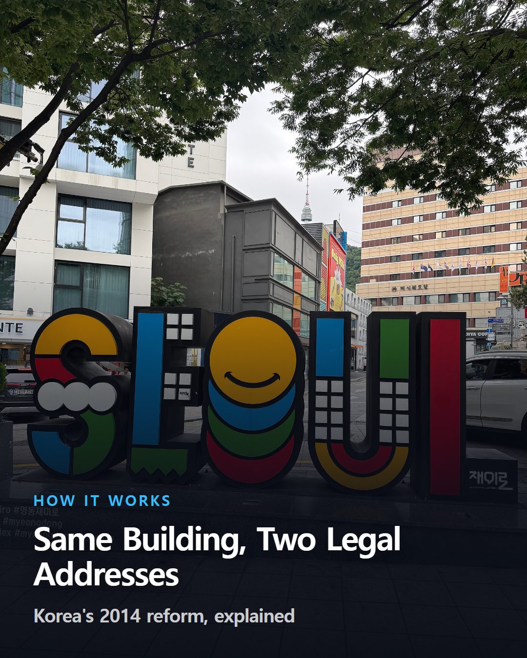
Ask two Koreans for directions to the same building, and one might rattle off a string of digits tied to a parcel of land while the other reads out a street name and building number. Both are correct. South Korea has legally run two parallel address systems since 2014, and the reform that created that overlap changed less than most foreigners assume.
The short version
- South Korea has legally run two address systems side by side since 2014.
- Road-name numbers roughly mark distance; lot numbers just reflect registration order.
- Delivery workers used the new road-name system only about 10% of the time.
Two addresses, one building
Every address in South Korea can still be written two ways: a jibeon (지번) lot number tied to a piece of land, or a doro-myeong (도로명) road name tied to a building. Since January 1, 2014, the road-name format has been the sole official address for government forms, mail, and most business use.
Lot numbers never disappeared. They remain the legal address format on land-registry and real-estate cadastre documents, so a single building can carry two valid addresses depending on which paper you're holding.
Ordinary Koreans still switch between the two without thinking about it. A taxi driver might ask for the old dong-and-beonji description while a delivery app defaults to the road name, and neither side finds that strange.
For a foreign resident, this shows up in small but real ways: a lease might list one format, a bank account the other, and a parcel-tracking app a third variant entirely. Mapping services like Naver Map and Kakao Map default to road names, so that's usually the safest one to memorize first.
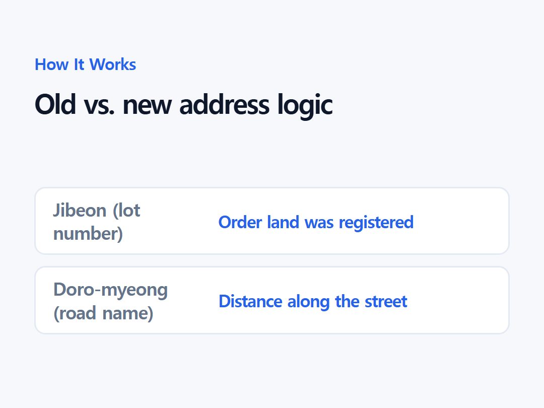
| System | What the number means |
|---|---|
| Jibeon (lot number) | Order the land was surveyed or registered |
| Doro-myeong (road name) | Distance along a named street |
A land survey built for taxes, not directions
The lot-number system traces back to a cadastral land survey the Japanese colonial government carried out starting around 1910, formalized by 1918. Each parcel of land received a number for registration and taxation purposes.
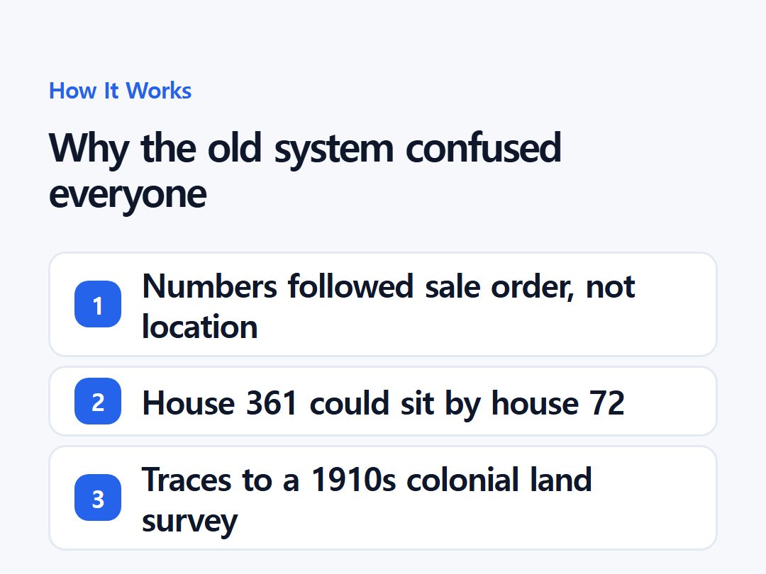
Geography was never part of the design. Numbers were assigned in the order land was surveyed, registered, or sold — not in the order buildings actually stood along a street.
That made the lot number closer to a legal record than a locating tool, similar to a deed reference. It told you who owned a piece of land and when the paperwork was filed, not what stood there or how to walk to it.
Why house 361 could sit next to house 72
That registration-order numbering produced addresses with no relationship to physical layout. A building numbered 361 could stand directly beside one numbered 72, simply because the two parcels were registered decades apart.
Residents who grew up in a neighborhood managed fine — they learned the landmarks instead. For couriers, ambulances, and first-time visitors, a lot number offered almost no clue about where a building actually was.
Directions in Korea, before the reform, often relied on nearby banks, schools, or subway exits rather than the address itself. Emergency dispatchers and delivery firms cited this as a recurring, measurable delay.
How a road-name number doubles as a distance marker
The system that replaced it measures rather than counts. Roads are divided into virtual reference points spaced 20 meters apart on wide streets and 10 meters apart on narrow ones, with odd numbers running down the left side and even numbers down the right, starting from a fixed origin point.
That spacing makes a building's number a rough distance marker: multiply it by ten, and you get its approximate distance in meters from where the road begins. A building numbered 57, for instance, sits close to 570 meters from that starting point.
Buildings on alleys too small to earn their own road name get a hyphenated number instead, such as 10-1 or 10-2, sharing the base number of the nearest named road. The logic still holds — the hyphen marks a branch, not a break in the sequence.
Daero, ro, and gil sort roads by size
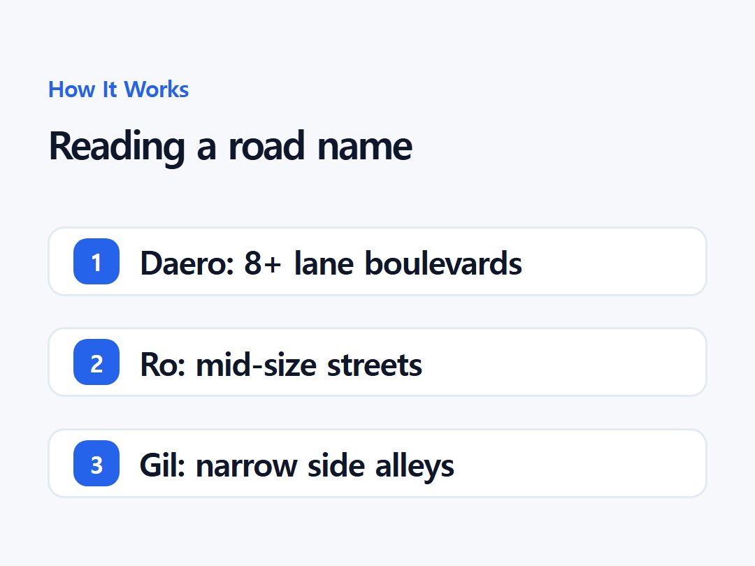
Road names also encode scale through their suffix, which tells a reader something a lot number never could before they even arrive.
- -daero marks major boulevards with eight or more lanes, such as Gangnam-daero
- -ro covers mid-sized streets, generally two to seven lanes, such as Teheran-ro
- -gil labels the narrow alleys and side branches that fan out from them
Roughly 160,000 roads were named under this scheme nationwide, giving every stretch of pavement — down to small residential lanes — a place in the hierarchy.
The switch took nineteen years, not one
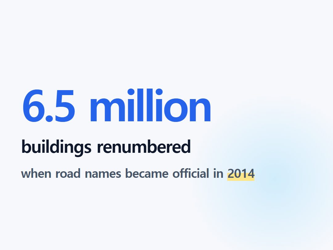
The 2014 deadline capped a long rollout rather than a sudden decision. Officials piloted street naming as early as 1996 and spent the following decade assigning road names and numbering about 6.5 million buildings nationwide.
Road-name addresses became legally valid, running alongside lot numbers, from July 29, 2011. A full mandatory switch was originally set for January 1, 2012, but regulators pushed it back two years after concluding the change was moving faster than the public could absorb.
Postal codes were rebuilt around the new system too
The road-name reform had a sequel most foreign residents never hear about. On August 1, 2015, South Korea replaced its old six-digit postal code, which had been built around administrative districts, with a new five-digit code based on the road-name system.
The new codes are organized around roughly 34,000 “basic districts” defined by physical features like roads and rivers rather than shifting administrative boundaries. Old and new postal codes don't convert one-to-one, which is part of why outdated codes still cause misdeliveries.
Delivery riders were the last holdouts
Legal status didn't mean instant use. South Korea's 2015 administrative statistics yearbook put nationwide road-name usage at roughly 70% for that year, but on-the-ground estimates ran lower.
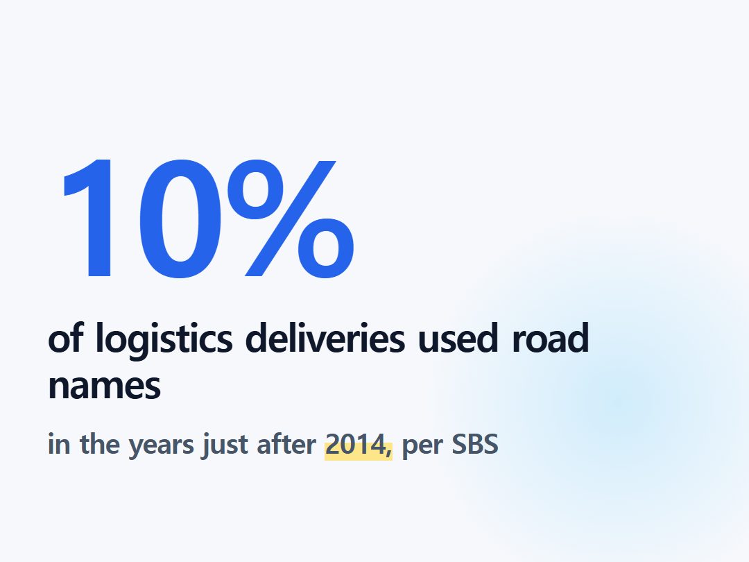
A Dankook University urban-planning professor told broadcaster SBS that real usage in the logistics industry was closer to 10%, because both address types stayed valid at once and old habits were hard to break. Courier and food-delivery workers — the people who most needed the new system's logic — were often the least familiar with it.
Where lot numbers still hold legal weight
Even now, jibeon addresses haven't been fully retired. Deeds, land registers, and other cadastral records still reference lot numbers, because that is what land ownership has been tracked by since the colonial-era survey.
That's why Korean property contracts and government land documents often list both an old lot number and a current road-name address side by side. A newly constructed building is typically assigned a lot number first, as part of registering the land, before a road-name address follows.
What's still unresolved
Researchers who study the system describe it as a hybrid rather than a finished reform. Academic reviews of the road-name framework note ongoing revisions aimed at fixing numbering gaps and inconsistencies that only surfaced after the nationwide rollout was complete.
There's also no recent nationwide survey measuring how well the public — Korean or foreign — actually understands the naming logic more than a decade on. What is documented is that two systems coexist by design, not by accident, and that isn't likely to change while land registries keep running on the older one.
For anyone new to Korea, the practical takeaway is simple: the road-name address is the one to trust for GPS, mail, and official paperwork, while the lot number is the one that survives in property law. Knowing both exist — and why — explains a lot of everyday confusion that otherwise looks like inconsistency.
Road name suffixes by size
| Suffix | Road type |
|---|---|
| -daero | Major boulevards, 8+ lanes (e.g. Gangnam-daero) |
| -ro | Mid-sized streets, 2-7 lanes (e.g. Teheran-ro) |
| -gil | Narrow alleys and side branches |
Frequently asked
What's the difference between jibeon and doro-myeong addresses in Korea?
Jibeon is the older lot-number system tied to land registration order, while doro-myeong is the road-name system where a building's number roughly corresponds to its distance along the street.
Why do Korean house numbers seem random or out of order?
Under the old jibeon system, numbers were assigned in the order land was surveyed or registered, not by physical location, so a house numbered 361 could sit right next to house 72.
When did Korea officially switch to road-name addresses?
Road-name addresses became legally valid in 2011 and became the sole mandatory official format on January 1, 2014, capping a rollout that began with pilot naming in 1996.
Sources
Every factual claim above is traceable. We do not translate articles — we gather facts from multiple outlets and write them ourselves.
- Conformance test report: Republic of Korea — ISO/TC 211
- Korean Address Format Explained — Road Names, Lot Numbers & Postal Codes — JusoFind
- Understanding the Korean Address System: Road Names vs. Land Lots — Stay Korea
- 도로명주소 본격시행 587일째, 그 현실은? — OhmyNews
- 대한민국의 주소 — Wikipedia (Korean)
- Redefining Korean Road Name Address System to Implement the Street-Based Address System — Journal of the Korean Society of Surveying, Geodesy, Photogrammetry and Cartography
- The Addresses They Are A Changin' in Korea — The Soul of Seoul
- How to read the new Korean postal codes — 10원 Tips